Unmanned Survey Solutions
offers a flexible approach
We offer a unique and individual approach to your survey.
With four options to choose from. Each with different capabilities and payloads.
Or we can provide a bespoke package to suit your needs.
Option 1
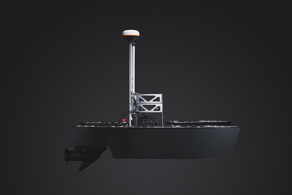
The Inception Mark I with CEE HydroSystems CEEPULSE High Frequency (HF) Single-Beam Echo Sounder (SBES) and Hemisphere Atlas Link RTK GNSS.
This solution provides single depth points directly under the vessel with positioning accuracy to 10cm.
Results include a low-resolution survey data set offering generic hydrographic charting capabilities.
Option 2
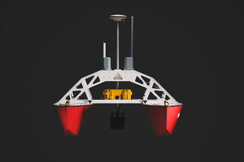
The Inception Mark II with CEE HydroSystems CEESCOPE-USV Dual Frequency (DF) SBES and imbedded RTK GNSS positioning.
This solution provides two digital depths (one for each frequency – high and low) together with a full sonar trace.
Horizontal positioning is accurate to 1-2cm using a Trimble VRS mobile network or locally installed GNSS base station.
This system also provides vertical control related to your specified reference datum without the need for a tide gauge or similar water lever measuring instrument.
Option 3
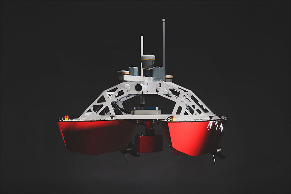
The Inception Mark II with R2SONIC 2020 Multi-Beam, SBG Ekinox2 Inertial Navigation System (INS) and Trimble RTK GNSS.
The Inception Mark II with R2SONIC 2020 Multi-Beam, SBG Ekinox2 Inertial Navigation System (INS) and Trimble RTK GNSS.
Option 4
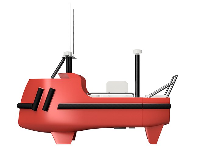
The Accession 350 and 425 offers 12 hours continual operation and carries a SONIC 2024, SBG Apogee Navsight, Valeport MiniSVS and SWiFT SVP.
Available with underway SVP profiling capability this USV can be operated as a standalone survey vessel or as a force multiplier with a mothership.
Customers own payload equipment can be integrated for longer duration projects.
All four options are offered as stand-alone equipment hire,
or together with an experienced Hydrographic Surveyor/USV operator.
Or we can provide you with a complete Survey Service.
Our complete Survey Service package delivers the highest industry standards recognised by IHO/FIG CAT A.
This includes managing all aspects of survey operations from planning, data acquisition, post operation processing to final production of fully referenced datasets with complete reporting to industry standard formats and client-specified criteria.
We pride ourselves on finding the right solution for every client.
So, if you are looking for a specific set of equipment not listed, then contact us with your requirements and we will work with you to provide a complete solution.